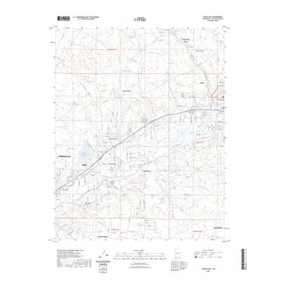
2023 Map of Flora Vista
USGS Topo · Published 2023About this map
Flora Vista and its surrounding river valley settlements are defined by an intricate network of irrigation canals essential to this high desert landscape. The Animas River cuts through the center of the terrain, feeding a series of historic waterworks including the Halford Independent Ditch, Farmers Ditch, and Kello Blancett Ditch. These waterways support the communities of Spencerville and South River, while the northern reaches transitions into the higher elevations of Bald Mesa.
Find a feature on this map
162 named features on this map. Tap any name to fly to it.
Don’t see what you’re looking for? This feature index may not catch every label — zoom into the map to look around manually.
Map Details
Editions of this 2023 Flora Vista Map
This is the sole edition of this map. No revisions or reprints were ever made.
Other maps of this area

1889 · Largo
USGS Topo · 1:250,000

1889 · Chaco
USGS Topo · 1:250,000

1892 · Chaco
USGS Topo · 1:250,000

1895 · Largo
USGS Topo · 1:250,000

1954 · Shiprock
USGS Topo · 1:250,000

1954 · Aztec
USGS Topo · 1:250,000

1958 · Shiprock
USGS Topo · 1:250,000

1958 · Aztec
USGS Topo · 1:250,000

1959 · Shiprock
USGS Topo · 1:250,000

1959 · Aztec
USGS Topo · 1:62,500