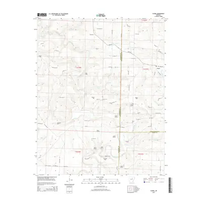
2014 Map of Floral
USGS Topo · Published 2014About this map
The community of Floral serves as the focal point for this survey of the high ground where Cleburne, Independence, and White Counties converge. The landscape is defined by its numerous hollows and ridges, including Bear Ridge, Wideman Mtn, and Warren Mtn, which separate the various branches of Big Cr and Wagon Wheel Cr. The map reveals a deeply rooted rural infrastructure of local roads like Heritage Trl and Warren Mountain Rd that connect isolated cemeteries and family landmarks.
Find a feature on this map
115 named features on this map. Tap any name to fly to it.
Don’t see what you’re looking for? This feature index may not catch every label — zoom into the map to look around manually.
Map Details
Editions of this 2014 Floral Map
This is the sole edition of this map. No revisions or reprints were ever made.
Other maps of this area

1890 · Batesville
USGS Topo · 1:125,000

1891 · Batesville
USGS Topo · 1:125,000

1935 · Bald Knob
USGS Topo · 1:62,500

1942 · Jamestown
USGS Topo · 1:31,680

1942 · Almond
USGS Topo · 1:31,680

1953 · Memphis
USGS Topo · 1:250,000

1956 · Memphis
USGS Topo · 1:250,000

1962 · Pangburn
USGS Topo · 1:24,000

1963 · West Pangburn
USGS Topo · 1:24,000

1965 · Pleasant Plains
USGS Topo · 1:24,000