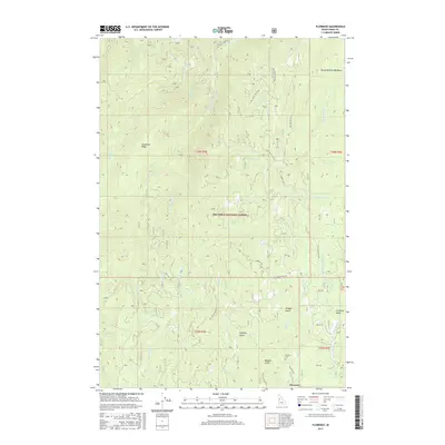
2017 Map of Florence
USGS Topo · Published 2017About this map
Florence occupies a central role in this Idaho County landscape, situated within the Nez Perce National Forest at the heart of the Florence Basin. This area is defined by a dense network of watercourses and topographical landmarks that hint at its gold-mining heritage, such as Pioneer Gulch, Baboon Gulch, and Humbug Gulch. The settlement is connected to the wider region via the Florence Rd and Slate Creek Rd, while the Florence Cem stands as a primary genealogical landmark for the district. The terrain is marked by significant elevations like Telephone Ridge and natural openings such as Round Bottom Meadows. Drainages like Little French Cr and Little Slate Cr carve through the forest, illustrating the complex hydrology that supported early activities in this remote mountain basin.
Find a feature on this map
47 named features on this map. Tap any name to fly to it.
Don’t see what you’re looking for? This feature index may not catch every label — zoom into the map to look around manually.
Map Details
Editions of this 2017 Florence Map
This is the sole edition of this map. No revisions or reprints were ever made.
Other maps of this area

1931 · Buffalo Hump
USGS Topo · 1:125,000

1934 · Buffalo Hump
USGS Topo · 1:125,000

1938 · Riggins
USGS Topo · 1:96,000

1945 · Riggins
USGS Topo · 1:125,000

1955 · Grangeville
USGS Topo · 1:250,000

1956 · Burgdorf
USGS Topo · 1:62,500

1956 · Elk City
USGS Topo · 1:250,000

1959 · Grangeville
USGS Topo · 1:250,000

1960 · Elk City
USGS Topo · 1:250,000

1963 · John Day Mtn
USGS Topo · 1:24,000