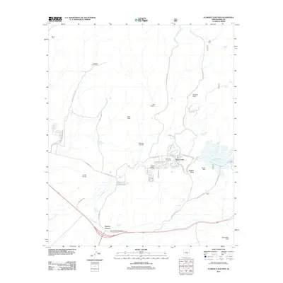
2011 Map of Florence Junction
USGS Topo · Published 2011About this map
Queen Valley serves as a primary residential hub in this corner of Pinal County, featuring the Queen Valley Golf Course and a network of local streets such as N Cavendish St and N Queen Anne Dr. The landscape is defined by the ephemeral Queen Creek and the infrastructure built to manage it, notably the Whitlow Ranch Flood Control Basin. To the south, Florence Junction marks a significant desert crossroads where the Arizona Highway Department Florence Junction Maintenance Camp supports regional transit.
Find a feature on this map
51 named features on this map. Tap any name to fly to it.
Don’t see what you’re looking for? This feature index may not catch every label — zoom into the map to look around manually.
Map Details
Editions of this 2011 Florence Junction Map
This is the sole edition of this map. No revisions or reprints were ever made.
Other maps of this area

1900 · Florence
USGS Topo · 1:125,000

1902 · Florence
USGS Topo · 1:125,000

1948 · Superior
USGS Topo · 1:62,500

1948 · Iron Mountain
USGS Topo · 1:24,000

1948 · Picketpost Mtn
USGS Topo · 1:24,000

1949 · Iron Mountain
USGS Topo · 1:24,000

1949 · Picketpost Mtn
USGS Topo · 1:24,000

1954 · Mesa
USGS Topo · 1:250,000

1956 · Goldfield
USGS Topo · 1:24,000

1956 · Magma
USGS Topo · 1:24,000