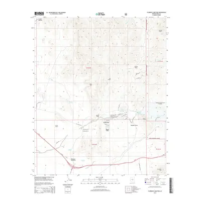
2014 Map of Florence Junction
USGS Topo · Published 2014About this map
Florence Junction serves as the focal point for this landscape, where the major corridor of Us-60 intersects with local routes near the southern boundary. The topography is defined by the sharp transition from the valley floor to the high peaks and canyons of the Tonto National Forest in the northeast. Small residential and historical nodes like Smelter Town, Gold Camp, and Queen Valley are situated along the lower elevations, surrounded by drainage features such as Whitlow Canyon and the Whitlow Ranch Flood Control Basin.
Find a feature on this map
54 named features on this map. Tap any name to fly to it.
Don’t see what you’re looking for? This feature index may not catch every label — zoom into the map to look around manually.
Map Details
Editions of this 2014 Florence Junction Map
This is the sole edition of this map. No revisions or reprints were ever made.
Other maps of this area

1900 · Florence
USGS Topo · 1:125,000

1902 · Florence
USGS Topo · 1:125,000

1948 · Superior
USGS Topo · 1:62,500

1948 · Iron Mountain
USGS Topo · 1:24,000

1948 · Picketpost Mtn
USGS Topo · 1:24,000

1949 · Iron Mountain
USGS Topo · 1:24,000

1949 · Picketpost Mtn
USGS Topo · 1:24,000

1954 · Mesa
USGS Topo · 1:250,000

1956 · Goldfield
USGS Topo · 1:24,000

1956 · Magma
USGS Topo · 1:24,000