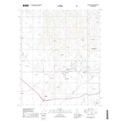
2018 Map of Florence Junction
USGS Topo · Published 2018About this map
Queen Valley sits at the heart of this landscape where the desert floor begins its ascent toward the higher peaks of the Tonto National Forest. The geography is defined by the winding path of Queen Creek, which passes through the center of the area near the small residential clusters of Gold Camp and Smelter Town. These communities are situated between prominent volcanic and rock formations such as Elephant Butte and Black Point. To the southwest, Florence Junction serves as a critical transportation node where major routes converge.
Find a feature on this map
73 named features on this map. Tap any name to fly to it.
Don’t see what you’re looking for? This feature index may not catch every label — zoom into the map to look around manually.
Map Details
Editions of this 2018 Florence Junction Map
This is the sole edition of this map. No revisions or reprints were ever made.
Other maps of this area

1900 · Florence
USGS Topo · 1:125,000

1902 · Florence
USGS Topo · 1:125,000

1948 · Superior
USGS Topo · 1:62,500

1948 · Iron Mountain
USGS Topo · 1:24,000

1948 · Picketpost Mtn
USGS Topo · 1:24,000

1949 · Iron Mountain
USGS Topo · 1:24,000

1949 · Picketpost Mtn
USGS Topo · 1:24,000

1954 · Mesa
USGS Topo · 1:250,000

1956 · Goldfield
USGS Topo · 1:24,000

1956 · Magma
USGS Topo · 1:24,000