
1960 Map of Florence Lake
USGS Topo · Published 1961About this map
Glacial prairie potholes and seasonal wetlands dominate this landscape along the Sheridan and Burleigh County line. The terrain is defined by its numerous water bodies, including the expansive Salt Lake and the Florence Lake National Wildlife Refuge, which provides a protected habitat within the center of the sheet. The drainage patterns are largely internal, typical of the Missouri Coteau region, with small lakes like Pelican Lake and Bunce Lake dotting the undulating ground.
Find a feature on this map
12 named features on this map. Tap any name to fly to it.
Don’t see what you’re looking for? This feature index may not catch every label — zoom into the map to look around manually.
Map Details
Editions of this 1960 Florence Lake Map
This is the sole edition of this map. No revisions or reprints were ever made.
Other maps of this area

1954 · McClusky
USGS Topo · 1:250,000

1958 · McClusky
USGS Topo · 1:250,000

1959 · McClusky
USGS Topo · 1:24,000

1960 · Horse Lake
USGS Topo · 1:24,000

1960 · Denhoff
USGS Topo · 1:24,000
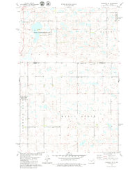
1978 · Goodrich SW
USGS Topo · 1:24,000
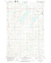
1978 · Goodrich West
USGS Topo · 1:24,000

1979 · Canfield Lake
USGS Topo · 1:24,000
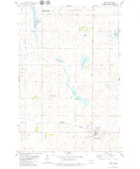
1979 · Wing
USGS Topo · 1:24,000
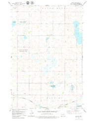
1979 · Arena
USGS Topo · 1:24,000