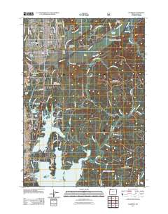
2011 Map of Florence
USGS Topo · Published 2011About this map
The Siuslaw River dominates this coastal landscape as it flows past the city of Florence and out toward Spruce Point. This survey captures the complex estuarine environment where the river meets several inlets and sloughs, including Prosser Slough and South Inlet, creating a network of islands like Bull Island and Cox Island. Further south, the map details a region of freshwater lakes including Woahink Lake and Siltcoos Lake, which are bordered by established communities such as Dunes City and Westlake. Genealogists will find several burial sites noted, such as the Heceta Lodge Number 11 IOOF Cemetery and the Drew Cemetery. The area's transit and infrastructure are well-defined, showing the Florence Municipal Airport and the winding course of N Fork Siuslaw Rd as it follows the river valley into the interior.
Find a feature on this map
94 named features on this map. Tap any name to fly to it.
Don’t see what you’re looking for? This feature index may not catch every label — zoom into the map to look around manually.
Map Details
Editions of this 2011 Florence Map
This is the sole edition of this map. No revisions or reprints were ever made.
Other maps of this area
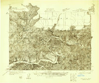
1918 · Mapleton
USGS Topo · 1:48,000
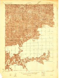
1919 · Earl
USGS Topo · 1:48,000
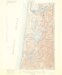
1920 · Siltcoos Lake
USGS Topo · 1:62,500
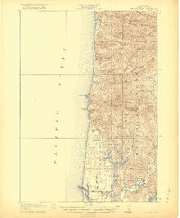
1920 · Heceta Head
USGS Topo · 1:62,500
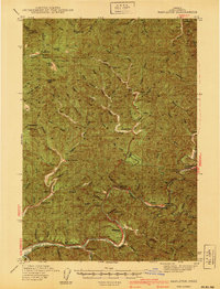
1940 · Mapleton
USGS Topo · 1:62,500
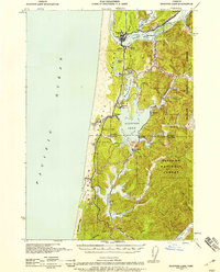
1941 · Siltcoos Lake
USGS Topo · 1:62,500
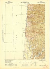
1942 · Heceta Head
USGS Topo · 1:62,500
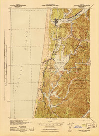
1942 · Siltcoos Lake
USGS Topo · 1:62,500
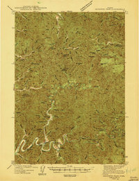
1943 · Goodwin Peak
USGS Topo · 1:62,500
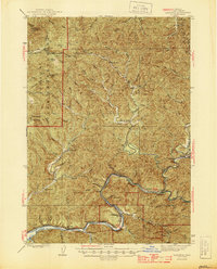
1945 · Mapleton
USGS Topo · 1:62,500