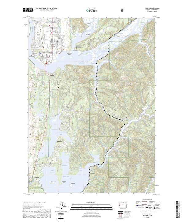
2024 Map of Florence
USGS Topo · Published 2024About this map
Florence and the coastal lowlands of Lane County are defined by a complex mosaic of freshwater lakes and tidal estuaries. The Siuslaw River winds past Bull Island and Cox Island before reaching the Pacific, while the Central Oregon & Pacific RR skirts the riverbanks near Cushman. To the south, a series of large coastal lakes including Woahink Lake and Siltcoos Lake dominate the landscape, providing a geographical anchor for Dunes City and the surrounding timberlands of the Siuslaw National Forest.
Find a feature on this map
88 named features on this map. Tap any name to fly to it.
Don’t see what you’re looking for? This feature index may not catch every label — zoom into the map to look around manually.
Map Details
Editions of this 2024 Florence Map
This is the sole edition of this map. No revisions or reprints were ever made.
Other maps of this area

1918 · Mapleton
USGS Topo · 1:48,000

1919 · Earl
USGS Topo · 1:48,000

1920 · Siltcoos Lake
USGS Topo · 1:62,500

1920 · Heceta Head
USGS Topo · 1:62,500

1940 · Mapleton
USGS Topo · 1:62,500

1941 · Siltcoos Lake
USGS Topo · 1:62,500

1942 · Heceta Head
USGS Topo · 1:62,500

1942 · Siltcoos Lake
USGS Topo · 1:62,500

1943 · Goodwin Peak
USGS Topo · 1:62,500

1945 · Mapleton
USGS Topo · 1:62,500