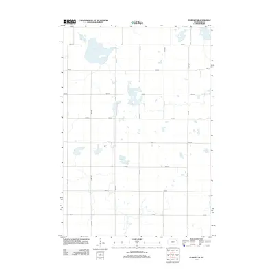
2012 Map of Florence NE
USGS Topo · Published 2012About this map
Goose Lake dominates the northern landscape of this prairie region in Eden Township, where the terrain is defined by glacial depressions and wetlands. This 2012 survey by the U.S. Geological Survey illustrates a sparsely populated agricultural environment structured by a rigid section-line road grid, including 442nd Ave and 148th St. The inclusion of Egeland Cem provides a specific point of interest for genealogists tracing local families in this portion of Codington County. Smaller water bodies like Foldager Slough and Arneson Slough are scattered across the quadrangle, reflecting the characteristic prairie pothole geography of eastern South Dakota. The lack of concentrated urban development highlights the area's ongoing role as a rural farming and waterfowl habitat.
Find a feature on this map
18 named features on this map. Tap any name to fly to it.
Don’t see what you’re looking for? This feature index may not catch every label — zoom into the map to look around manually.
Map Details
Editions of this 2012 Florence NE Map
This is the sole edition of this map. No revisions or reprints were ever made.
Other maps of this area

1953 · Milbank
USGS Topo · 1:250,000

1958 · Milbank
USGS Topo · 1:250,000

1970 · Lonesome Lake
USGS Topo · 1:24,000

1970 · Waubay
USGS Topo · 1:24,000

1970 · Florence NE
USGS Topo · 1:24,000

1970 · Waubay SW
USGS Topo · 1:24,000

1970 · Ortley
USGS Topo · 1:24,000

1970 · Still Lake
USGS Topo · 1:24,000

1973 · Florence
USGS Topo · 1:24,000

1973 · Florence NW
USGS Topo · 1:24,000