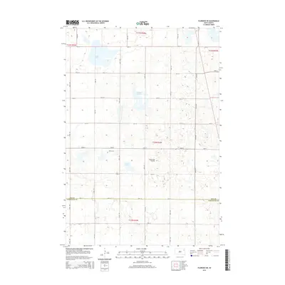
2015 Map of Florence NE
USGS Topo · Published 2015About this map
Coteau des Prairies, a vast highland plateau, defines the character of this landscape on the border of Day and Codington counties. The terrain is marked by numerous glacial depressions, including the prominent Goose Lake in the northwest and smaller wetland features like Foldager Slough and Arneson Slough. This region reflects the typical prairie pothole ecosystem of eastern South Dakota, where the drainage patterns follow the natural dips in the glacial till. Near the center of the sheet, the Egeland Cem stands as a focal point for local genealogical research, situated among a regular grid of section roads like 152nd St and 154th St. The map captures a rural township structure defined by the Public Land Survey System, showing the precise township and range boundaries that have organized this agricultural and pastoral land since the nineteenth century.
Find a feature on this map
19 named features on this map. Tap any name to fly to it.
Don’t see what you’re looking for? This feature index may not catch every label — zoom into the map to look around manually.
Map Details
Editions of this 2015 Florence NE Map
This is the sole edition of this map. No revisions or reprints were ever made.
Other maps of this area

1953 · Milbank
USGS Topo · 1:250,000

1958 · Milbank
USGS Topo · 1:250,000

1970 · Lonesome Lake
USGS Topo · 1:24,000

1970 · Waubay
USGS Topo · 1:24,000

1970 · Florence NE
USGS Topo · 1:24,000

1970 · Waubay SW
USGS Topo · 1:24,000

1970 · Ortley
USGS Topo · 1:24,000

1970 · Still Lake
USGS Topo · 1:24,000

1973 · Florence
USGS Topo · 1:24,000

1973 · Florence NW
USGS Topo · 1:24,000