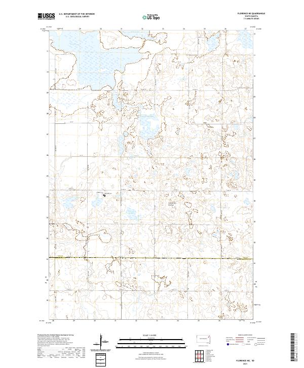
2021 Map of Florence NE
USGS Topo · Published 2021About this map
Bitter Lake and Goose Lake dominate the northern landscape of this region in Day County, where the sprawling prairie topography is defined by seasonal water bodies and terminal basins. The terrain is a characteristic example of the Coteau des Prairies, a highland plateau that creates a complex network of wetlands and sloughs. This particular area features Foldager Slough, illustrating the post-glacial drainage patterns common to northeastern South Dakota. The land is precisely partitioned by a grid of rural section lines, including Co Rd 30 and Co Rd 36, which facilitate travel through this agricultural and pastoral expanse. Smaller water features such as Arneson Slough and various unnamed prairie potholes further define the hydrology of this distinct geographical region.
Find a feature on this map
3 named features on this map. Tap any name to fly to it.
Don’t see what you’re looking for? This feature index may not catch every label — zoom into the map to look around manually.
Map Details
Editions of this 2021 Florence NE Map
This is the sole edition of this map. No revisions or reprints were ever made.
Other maps of this area

1953 · Milbank
USGS Topo · 1:250,000

1958 · Milbank
USGS Topo · 1:250,000

1970 · Lonesome Lake
USGS Topo · 1:24,000

1970 · Waubay
USGS Topo · 1:24,000

1970 · Florence NE
USGS Topo · 1:24,000

1970 · Waubay SW
USGS Topo · 1:24,000

1970 · Ortley
USGS Topo · 1:24,000

1970 · Still Lake
USGS Topo · 1:24,000

1973 · Florence
USGS Topo · 1:24,000

1973 · Florence NW
USGS Topo · 1:24,000