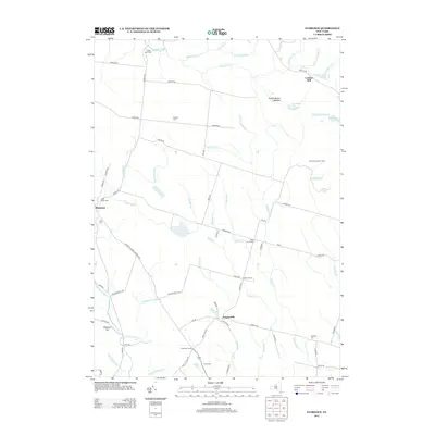
2013 Map of Florence
USGS Topo · Published 2013About this map
Florence and Empeyville serve as central hubs in this landscape defined by an intricate network of tributaries feeding into the Salmon River and Mad River. The map highlights a series of historic rural crossroads, including Forty Six Corners, Hanifin Corners, and Thompson Corners, which connect remote homesteads through roads like Osceola Rd and Redfield Rd. Local heritage is deeply rooted in the numerous family and community burial grounds found here, such as Saint Marys Cem, Stanford Cem, and Greely Cem.
Find a feature on this map
73 named features on this map. Tap any name to fly to it.
Don’t see what you’re looking for? This feature index may not catch every label — zoom into the map to look around manually.
Map Details
Editions of this 2013 Florence Map
This is the sole edition of this map. No revisions or reprints were ever made.
Other maps of this area

1903 · Orwell
USGS Topo · 1:62,500

1905 · Orwell
USGS Topo · 1:62,500

1905 · Taberg
USGS Topo · 1:62,500

1906 · Highmarket
USGS Topo · 1:62,500

1906 · Kasoag
USGS Topo · 1:62,500

1942 · Redfield
USGS Topo · 1:24,000

1943 · Redfield
USGS Topo · 1:31,680

1943 · Westdale
USGS Topo · 1:31,680

1943 · Camden West
USGS Topo · 1:31,680

1943 · East Florence
USGS Topo · 1:31,680