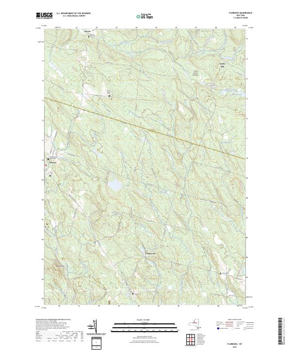
2023 Map of Florence
USGS Topo · Published 2023About this map
Florence and Osceola anchor this landscape along the border of Oneida and Lewis counties, where the Salmon River and its numerous tributaries like Finnegan Brook and West Fork Salmon River carve through the terrain. The map reveals a community structured by local industries and family heritage, seen in the location of Leisher Mill and a high density of small burial grounds. Genealogists can trace family names across several dedicated sites, including River Cem, Mount Pleasant Cem, and Greely Cem. The geography is defined by prominent rises such as Mount Pleasant and Wickwire Hill, with the southern reaches featuring the settlement of Empeyville. A network of rural routes, including Co RD 68 and Co RD 44, connects these villages to landmarks like Saint Marys Church Cem and the waters of McCarthys Lake, illustrating a remote but well-connected rural economy.
Find a feature on this map
76 named features on this map. Tap any name to fly to it.
Don’t see what you’re looking for? This feature index may not catch every label — zoom into the map to look around manually.
Map Details
Editions of this 2023 Florence Map
This is the sole edition of this map. No revisions or reprints were ever made.
Other maps of this area

1903 · Orwell
USGS Topo · 1:62,500

1905 · Orwell
USGS Topo · 1:62,500

1905 · Taberg
USGS Topo · 1:62,500

1906 · Highmarket
USGS Topo · 1:62,500

1906 · Kasoag
USGS Topo · 1:62,500

1942 · Redfield
USGS Topo · 1:24,000

1943 · Redfield
USGS Topo · 1:31,680

1943 · Westdale
USGS Topo · 1:31,680

1943 · Camden West
USGS Topo · 1:31,680

1943 · East Florence
USGS Topo · 1:31,680