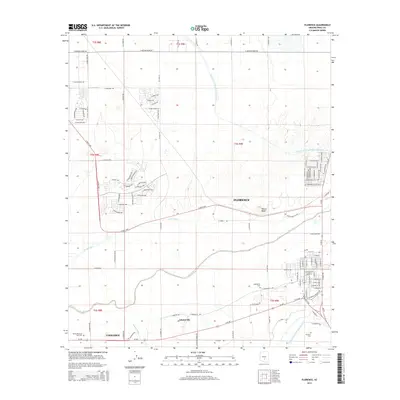
2014 Map of Florence
USGS Topo · Published 2014About this map
The Gila River corridor serves as the primary geographical axis for this 2014 survey of Pinal County, where the town of Florence sits as a central hub. The landscape is defined by its water infrastructure, dominated by the massive Central Arizona Project Aqueduct which cuts north-to-south across the desert, alongside the N Side Canal and E Canal. These modern engineering works contrast with the area's pioneer history, marked by the settlement of Adamsville and its associated Adamsville Cem. To the west, the outskirts of Coolidge begin to appear, while Poston Butte rises as a prominent landmark north of the river. The map also detail's the expansion of residential street networks such as W Trenton Way and W Heritage Way, showing how modern subdivisions have begun to fill the spaces between the river and the northern agricultural roads.
Find a feature on this map
112 named features on this map. Tap any name to fly to it.
Don’t see what you’re looking for? This feature index may not catch every label — zoom into the map to look around manually.
Map Details
Editions of this 2014 Florence Map
This is the sole edition of this map. No revisions or reprints were ever made.
Other maps of this area

1900 · Florence
USGS Topo · 1:125,000

1902 · Florence
USGS Topo · 1:125,000

1907 · Sacaton
USGS Topo · 1:62,500

1922 · Red Rock No 2
USGS Topo · 1:48,000

1922 · Signal Peak
USGS Topo · 1:62,500

1924 · Signal Peak
USGS Topo · 1:62,500

1934 · Newman Peak
USGS Topo · 1:125,000

1954 · Mesa
USGS Topo · 1:250,000

1956 · Sacaton NE
USGS Topo · 1:24,000

1956 · Magma
USGS Topo · 1:24,000