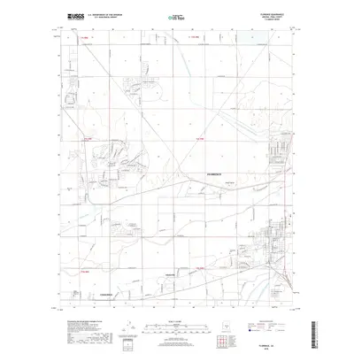
2018 Map of Florence
USGS Topo · Published 2018About this map
The Gila River corridor serves as the central anchor of this Pinal County landscape, where the historic settlement of Florence meets the modern engineering of the Central Arizona Project Aqueduct. This survey captures the region as residential expansion began to shape the desert north of the river, with new street networks like W Spirit Loop and W Victory Way appearing alongside older landmarks.
Find a feature on this map
81 named features on this map. Tap any name to fly to it.
Don’t see what you’re looking for? This feature index may not catch every label — zoom into the map to look around manually.
Map Details
Editions of this 2018 Florence Map
This is the sole edition of this map. No revisions or reprints were ever made.
Other maps of this area

1900 · Florence
USGS Topo · 1:125,000

1902 · Florence
USGS Topo · 1:125,000

1907 · Sacaton
USGS Topo · 1:62,500

1922 · Red Rock No 2
USGS Topo · 1:48,000

1922 · Signal Peak
USGS Topo · 1:62,500

1924 · Signal Peak
USGS Topo · 1:62,500

1934 · Newman Peak
USGS Topo · 1:125,000

1954 · Mesa
USGS Topo · 1:250,000

1956 · Sacaton NE
USGS Topo · 1:24,000

1956 · Magma
USGS Topo · 1:24,000