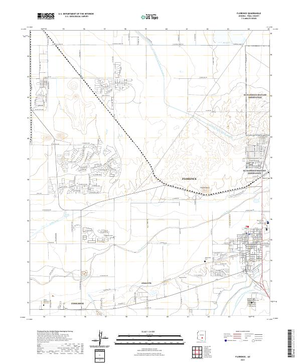
2021 Map of Florence
USGS Topo · Published 2021About this map
The Gila River corridor serves as the historic heart of this Pinal County landscape, providing the lifeblood for both long-standing agricultural tracts and modern desert expansion. The community of Florence, established as the county seat, remains a primary hub of civic and educational activity, anchored by the Pinal County Superior Courthouse and the Central Arizona College Florence Center. Evidence of early settlement persists in the southern reaches at Adamsville, while the northern portion of the sheet shows extensive residential development near Poston Butte, with networks like the W Merrill Ranch Pkwy weaving through the arid terrain. For genealogists and local historians, several burial grounds are meticulously documented, including the Adamsville Cem, Florence Cem, and the Valley Memorial Park Cem near Coolidge. The modern scale of water management is visible through the Central Arizona Project Aqueduct, which contrasts with the traditional irrigation paths of the N Side Canal.
Find a feature on this map
82 named features on this map. Tap any name to fly to it.
Don’t see what you’re looking for? This feature index may not catch every label — zoom into the map to look around manually.
Map Details
Editions of this 2021 Florence Map
This is the sole edition of this map. No revisions or reprints were ever made.
Other maps of this area

1900 · Florence
USGS Topo · 1:125,000

1902 · Florence
USGS Topo · 1:125,000

1907 · Sacaton
USGS Topo · 1:62,500

1922 · Red Rock No 2
USGS Topo · 1:48,000

1922 · Signal Peak
USGS Topo · 1:62,500

1924 · Signal Peak
USGS Topo · 1:62,500

1934 · Newman Peak
USGS Topo · 1:125,000

1954 · Mesa
USGS Topo · 1:250,000

1956 · Sacaton NE
USGS Topo · 1:24,000

1956 · Magma
USGS Topo · 1:24,000