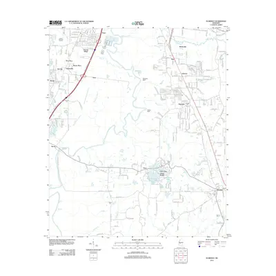
2012 Map of Florence
USGS Topo · Published 2012About this map
The Pearl River winds through a complex riparian landscape south of Jackson, defining the border between Hinds and Rankin counties. This 2012 survey illustrates the residential expansion radiating from the capital, where traditional settlements like Florence and Byram sit alongside newer developments such as Cleary Heights and Lakeland. The terrain is marked by significant riverine features, including Stewarts Bluff and Tucker Bluff, while a dense network of smaller waterways like Richland Cr and Steamboat Bayou intersect the local road system.
Find a feature on this map
220 named features on this map. Tap any name to fly to it.
Don’t see what you’re looking for? This feature index may not catch every label — zoom into the map to look around manually.
Map Details
Editions of this 2012 Florence Map
This is the sole edition of this map. No revisions or reprints were ever made.
Other maps of this area

1903 · Jackson
USGS Topo · 1:125,000

1905 · Jackson
USGS Topo · 1:48,000

1906 · Florence
USGS Topo · 1:62,500

1908 · Jackson
USGS Topo · 1:62,500

1908 · Florence
USGS Topo · 1:62,500

1934 · Raymond
USGS Topo · 1:48,000

1937 · Raymond
USGS Topo · 1:62,500

1937 · Terry
USGS Topo · 1:48,000

1942 · Raymond
USGS Topo · 1:62,500

1943 · Terry
USGS Topo · 1:62,500