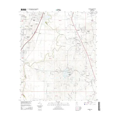
2015 Map of Florence
USGS Topo · Published 2015About this map
The Pearl River winds through the heart of this landscape, marking the boundary between Hinds Co and Rankin Co. This corridor is defined by a dense network of residential developments and historic markers that trace the growth of the Jackson periphery. The town of Florence anchors the southeastern corner, while smaller settlements like Cleary, Elton, and Lakeland dot the rolling terrain.
Find a feature on this map
102 named features on this map. Tap any name to fly to it.
Don’t see what you’re looking for? This feature index may not catch every label — zoom into the map to look around manually.
Map Details
Editions of this 2015 Florence Map
This is the sole edition of this map. No revisions or reprints were ever made.
Other maps of this area

1903 · Jackson
USGS Topo · 1:125,000

1905 · Jackson
USGS Topo · 1:48,000

1906 · Florence
USGS Topo · 1:62,500

1908 · Jackson
USGS Topo · 1:62,500

1908 · Florence
USGS Topo · 1:62,500

1934 · Raymond
USGS Topo · 1:48,000

1937 · Raymond
USGS Topo · 1:62,500

1937 · Terry
USGS Topo · 1:48,000

1942 · Raymond
USGS Topo · 1:62,500

1943 · Terry
USGS Topo · 1:62,500