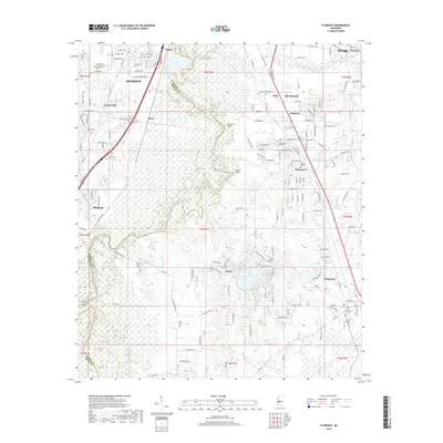
2018 Map of Florence
USGS Topo · Published 2018About this map
The Pearl River winds along the boundary between Rankin and Hinds Counties, anchoring a landscape that bridges the urban expansion of southern Jackson with the smaller communities of Florence and Byram. This 2018 survey reveals a topography defined by river bluffs and numerous small lakes, including Lake Bonnie Webb and Lake Mitchell. The transition from industrial development in Richland and Lakeland to the more rural south is marked by a network of local cemeteries like Smith Cem and McGowen Cem, which serve as vital landmarks for genealogists tracing local family roots. Distinctive terrain features such as Stewarts Bluff and Tucker Bluff rise above the river valley, while established settlements like Cleary and Plainview show the density of neighborhood growth along the Highway 49 corridor.
Find a feature on this map
173 named features on this map. Tap any name to fly to it.
Don’t see what you’re looking for? This feature index may not catch every label — zoom into the map to look around manually.
Map Details
Editions of this 2018 Florence Map
This is the sole edition of this map. No revisions or reprints were ever made.
Other maps of this area

1903 · Jackson
USGS Topo · 1:125,000

1905 · Jackson
USGS Topo · 1:48,000

1906 · Florence
USGS Topo · 1:62,500

1908 · Jackson
USGS Topo · 1:62,500

1908 · Florence
USGS Topo · 1:62,500

1934 · Raymond
USGS Topo · 1:48,000

1937 · Raymond
USGS Topo · 1:62,500

1937 · Terry
USGS Topo · 1:48,000

1942 · Raymond
USGS Topo · 1:62,500

1943 · Terry
USGS Topo · 1:62,500