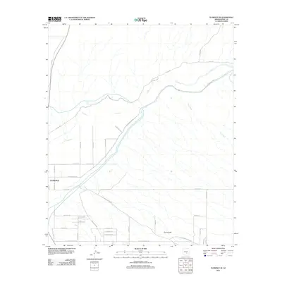
2011 Map of Florence SE
USGS Topo · Published 2011About this map
The Gila River defines this arid corridor southeast of Florence, providing a stark contrast to the surrounding desert terrain and the seasonal flow of China Wash. At the beginning of the 21st century, the area shows a distinct transition from the established outskirts of Florence into more rural stretches, marked by a network of long-standing desert routes. The path of the Old Florence Kelvin Hwy and the presence of E Diversion Dam Rd indicate the region's historical reliance on river management and established transport corridors connecting Pinal County settlements. Near the southern edge of the map, the label for Picture Rocks suggests a point of geographic or local interest. The grid of roads like N Padilla Rd and N Sweetwater Rd reflects the gradual expansion of residential and agricultural plots south of the river.
Find a feature on this map
37 named features on this map. Tap any name to fly to it.
Don’t see what you’re looking for? This feature index may not catch every label — zoom into the map to look around manually.
Map Details
Editions of this 2011 Florence SE Map
This is the sole edition of this map. No revisions or reprints were ever made.
Other maps of this area

1900 · Florence
USGS Topo · 1:125,000

1902 · Florence
USGS Topo · 1:125,000

1922 · Red Rock No 2
USGS Topo · 1:48,000

1934 · Newman Peak
USGS Topo · 1:125,000

1954 · Mesa
USGS Topo · 1:250,000

1956 · Magma
USGS Topo · 1:24,000

1956 · Tucson
USGS Topo · 1:250,000

1957 · Mesa
USGS Topo · 1:250,000

1958 · Mesa
USGS Topo · 1:250,000

1958 · Tucson
USGS Topo · 1:250,000