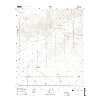
2014 Map of Florence SE
USGS Topo · Published 2014About this map
Florence serves as the focal point for this desert landscape, situated south of the life-giving Gila River. The map illustrates a transitional desert environment where traditional watercourses like China Wash exist alongside modern infrastructure, notably the Central Arizona Project Aqueduct which cuts diagonally across the terrain. This combination of natural river systems and large-scale engineering highlights the region's historical and ongoing reliance on water management for settlement and agriculture.
Find a feature on this map
35 named features on this map. Tap any name to fly to it.
Don’t see what you’re looking for? This feature index may not catch every label — zoom into the map to look around manually.
Map Details
Editions of this 2014 Florence SE Map
This is the sole edition of this map. No revisions or reprints were ever made.
Other maps of this area

1900 · Florence
USGS Topo · 1:125,000

1902 · Florence
USGS Topo · 1:125,000

1922 · Red Rock No 2
USGS Topo · 1:48,000

1934 · Newman Peak
USGS Topo · 1:125,000

1954 · Mesa
USGS Topo · 1:250,000

1956 · Magma
USGS Topo · 1:24,000

1956 · Tucson
USGS Topo · 1:250,000

1957 · Mesa
USGS Topo · 1:250,000

1958 · Mesa
USGS Topo · 1:250,000

1958 · Tucson
USGS Topo · 1:250,000