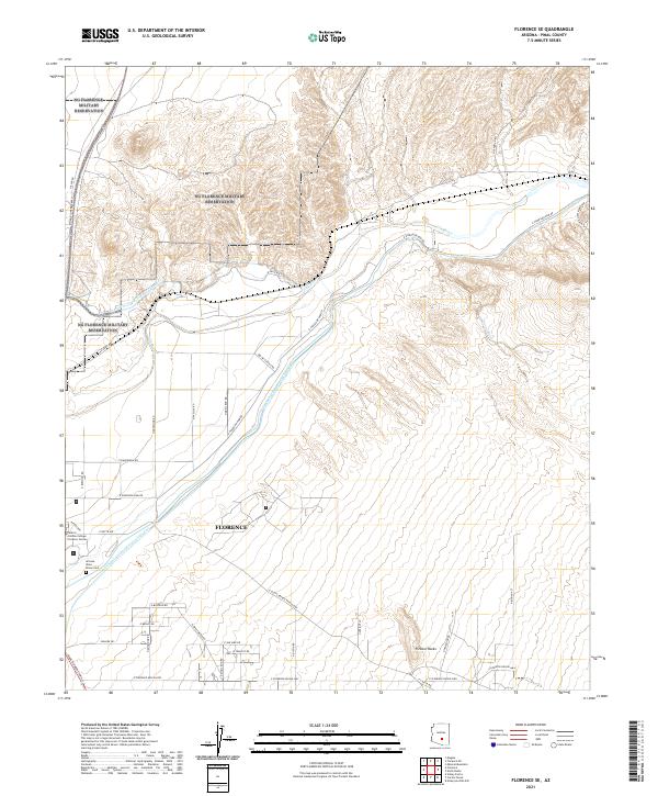
2021 Map of Florence SE
USGS Topo · Published 2021About this map
The Gila River corridor southeast of Florence reveals a landscape defined by industrial-scale water management and historical institutional presence. This modern survey illustrates the massive engineering of the Central Arizona Project Aqueduct, which cuts diagonally across the desert floor toward the Florence townsite. The southern portion of the map centers on significant local landmarks, including the Central Arizona College Florence Center and the Arizona State Prison Cem, a site of particular interest for genealogists and regional historians. Natural features like Picture Rocks and China Wash contrast with the grid of local thoroughfares such as E Florence-Kelvin Hwy and E Old Florence-Kelvin Hwy. The topography transitions from the river's lowlands into the rising slopes of the surrounding ranges, marked by the intersection of numerous desert roads like E Diversion Dam Rd.
Find a feature on this map
45 named features on this map. Tap any name to fly to it.
Don’t see what you’re looking for? This feature index may not catch every label — zoom into the map to look around manually.
Map Details
Editions of this 2021 Florence SE Map
This is the sole edition of this map. No revisions or reprints were ever made.
Other maps of this area

1900 · Florence
USGS Topo · 1:125,000

1902 · Florence
USGS Topo · 1:125,000

1922 · Red Rock No 2
USGS Topo · 1:48,000

1934 · Newman Peak
USGS Topo · 1:125,000

1954 · Mesa
USGS Topo · 1:250,000

1956 · Magma
USGS Topo · 1:24,000

1956 · Tucson
USGS Topo · 1:250,000

1957 · Mesa
USGS Topo · 1:250,000

1958 · Mesa
USGS Topo · 1:250,000

1958 · Tucson
USGS Topo · 1:250,000