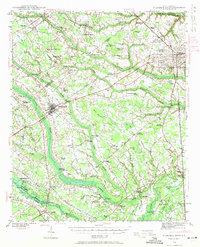
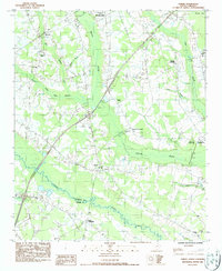
1940 Map of Florence West
USGS Topo · Published 1940This historical map portrays the area of Florence West in 1940, primarily covering Florence as well as portions of Sumter County and Darlington County. Featuring a scale of 1:62500, this map provides a highly detailed snapshot of the terrain, roads, buildings, counties, and historical landmarks in the Florence West region at the time. Published in 1940, it is one of 2 known editions of this map due to revisions or reprints.
Find a feature on this map
93 named features on this map. Tap any name to fly to it.
Don’t see what you’re looking for? This feature index may not catch every label — zoom into the map to look around manually.
Map Details
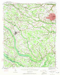
Editions of this 1940 Florence West Map
2 editions found
Historical Maps of Enchanted Meadows Through Time
15 maps found

1940 Florence East
Florence County, SC
1940 Florence West
Florence County, SC

1945 Florence East
Florence County, SC

1945 Florence West
Florence County, SC

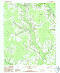
1946 Hyman
Florence County, SC
1986 Effingham
Florence County, SC
1986 Evergreen
Florence County, SC
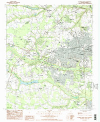
1986 Florence East
Florence County, SC
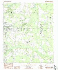
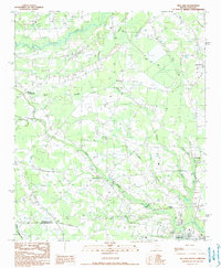
1986 Florence West
Florence County, SC
1986 Pamplico North
Florence County, SC
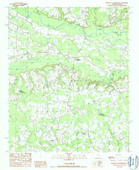
1986 Pee Dee
Florence County, SC
1986 Sardis
Florence County, SC
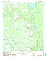
1990 Mill Bay
Florence County, SC
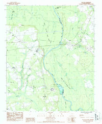
1990 Pamplico South
Florence County, SC
1990 Prospect Crossroads
Florence County, SC