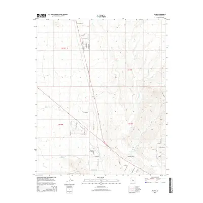
2014 Map of Flores
USGS Topo · Published 2014About this map
Flores serves as a central point in this Yavapai County landscape, where the high desert is defined by a complex network of seasonal drainage and aviation activity. The presence of Moreton Airpark and W Airpark Dr indicates a region where residential development and private flight interests converge amidst the arid terrain. The hydrologic character of the area is mapped through significant ephemeral waterways including Martinez Wash, Sols Wash, and Antelope Cr, which provide a structural layout for the surrounding roads and ranch lands.
Find a feature on this map
53 named features on this map. Tap any name to fly to it.
Don’t see what you’re looking for? This feature index may not catch every label — zoom into the map to look around manually.
Map Details
Editions of this 2014 Flores Map
This is the sole edition of this map. No revisions or reprints were ever made.
Other maps of this area

1887 · Prescott
USGS Topo · 1:250,000

1892 · Prescott
USGS Topo · 1:250,000

1903 · Congress
USGS Topo · 1:125,000

1904 · Congress
USGS Topo · 1:125,000

1947 · Wagoner
USGS Topo · 1:62,500

1948 · Wagoner
USGS Topo · 1:63,360

1950 · Wagoner
USGS Topo · 1:62,500

1950 · Prescott
USGS Topo · 1:250,000

1954 · Prescott
USGS Topo · 1:250,000

1954 · Phoenix
USGS Topo · 1:250,000