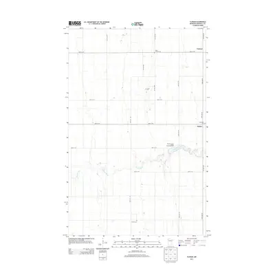
2013 Map of Florian
USGS Topo · Published 2013About this map
Florian and Englund sit within the flat, expansive agricultural landscape of Marshall County, where the geometric grid of rural roads is interrupted only by the winding course of the Tamarac River. This area is characterized by small, historically significant sites that anchor the local community, such as Salem Lutheran Cem, Florian Cem, Assumption Cem, and Swedish Cem. These burial grounds suggest the diverse ethnic and denominational roots of the early settlers who established these prairie townships. Public recreation is centered around the Marshall County Florian Park Campground, which utilizes the natural bend of the river. The map reveals a highly structured landscape defined by numbered routes like 420th St NW and 270th Ave NW, illustrating the modern organization of this North Country farming region.
Find a feature on this map
19 named features on this map. Tap any name to fly to it.
Don’t see what you’re looking for? This feature index may not catch every label — zoom into the map to look around manually.
Map Details
Editions of this 2013 Florian Map
This is the sole edition of this map. No revisions or reprints were ever made.
Other maps of this area

1918 · Argyle
USGS Topo · 1:62,500

1939 · Kennedy
USGS Topo · 1:62,500

1941 · Kennedy
USGS Topo · 1:62,500

1952 · Thief River Falls
USGS Topo · 1:250,000

1954 · Stephen
USGS Topo · 1:62,500

1956 · Thief River Falls
USGS Topo · 1:250,000

1956 · Karlstad
USGS Topo · 1:62,500

1956 · Florian
USGS Topo · 1:62,500

1957 · Thief River Falls
USGS Topo · 1:250,000

1967 · Thief River Falls
USGS Topo · 1:250,000