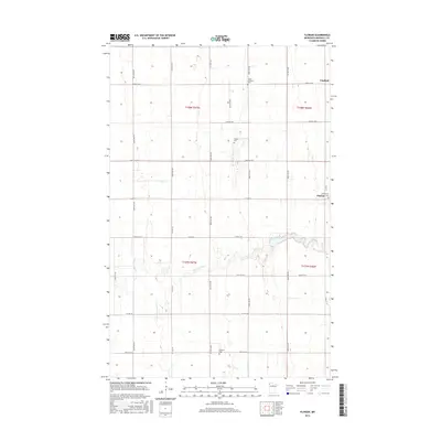
2016 Map of Florian
USGS Topo · Published 2016About this map
Florian and the nearby settlement of Englund anchor this Marshall County landscape, where the Tamarac River meanders across a heavily gridded agricultural plain. The map reveals a high concentration of community burial grounds that suggest the area's early Lutheran and Catholic settlement patterns, including Salem Lutheran Cem, Assumption Cem, and the Swedish Cem. The vast township system of the Public Land Survey is clearly visible through the strictly organized road network, with routes like Co Hwy 1 and Co Hwy 6 following section lines. This document provides a clear look at the enduring rural character of northern Minnesota in the early 21st century, where the small community of Florian serves as a local focal point for the surrounding farmsteads and cemeteries.
Find a feature on this map
31 named features on this map. Tap any name to fly to it.
Don’t see what you’re looking for? This feature index may not catch every label — zoom into the map to look around manually.
Map Details
Editions of this 2016 Florian Map
This is the sole edition of this map. No revisions or reprints were ever made.
Other maps of this area

1918 · Argyle
USGS Topo · 1:62,500

1939 · Kennedy
USGS Topo · 1:62,500

1941 · Kennedy
USGS Topo · 1:62,500

1952 · Thief River Falls
USGS Topo · 1:250,000

1954 · Stephen
USGS Topo · 1:62,500

1956 · Thief River Falls
USGS Topo · 1:250,000

1956 · Karlstad
USGS Topo · 1:62,500

1956 · Florian
USGS Topo · 1:62,500

1957 · Thief River Falls
USGS Topo · 1:250,000

1967 · Thief River Falls
USGS Topo · 1:250,000