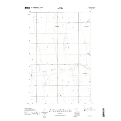
2019 Map of Florian
USGS Topo · Published 2019About this map
The Tamarac River meanders through this agricultural landscape in Marshall County, providing a natural break in the strictly gridded section lines of the Red River Valley. This region is defined by its small farming hamlets and a series of rural burying grounds that reflect the area's early settlement history. Near the town of Florian, the Assumption Cem stands as a local landmark, while to the north, the small community of Englund sits along the county line. The map reveals a highly structured road network, primarily consisting of numbered avenues and streets like 300th Ave NW and 400th St NW, which facilitate access across the expansive townships of t158n r47w and t157n r47w. Additional local heritage sites include Salem Cem and the Wanger Baptist Cem, providing valuable points of interest for those researching the genealogy of this Minnesota prairie region.
Find a feature on this map
31 named features on this map. Tap any name to fly to it.
Don’t see what you’re looking for? This feature index may not catch every label — zoom into the map to look around manually.
Map Details
Editions of this 2019 Florian Map
This is the sole edition of this map. No revisions or reprints were ever made.
Other maps of this area

1918 · Argyle
USGS Topo · 1:62,500

1939 · Kennedy
USGS Topo · 1:62,500

1941 · Kennedy
USGS Topo · 1:62,500

1952 · Thief River Falls
USGS Topo · 1:250,000

1954 · Stephen
USGS Topo · 1:62,500

1956 · Thief River Falls
USGS Topo · 1:250,000

1956 · Karlstad
USGS Topo · 1:62,500

1956 · Florian
USGS Topo · 1:62,500

1957 · Thief River Falls
USGS Topo · 1:250,000

1967 · Thief River Falls
USGS Topo · 1:250,000