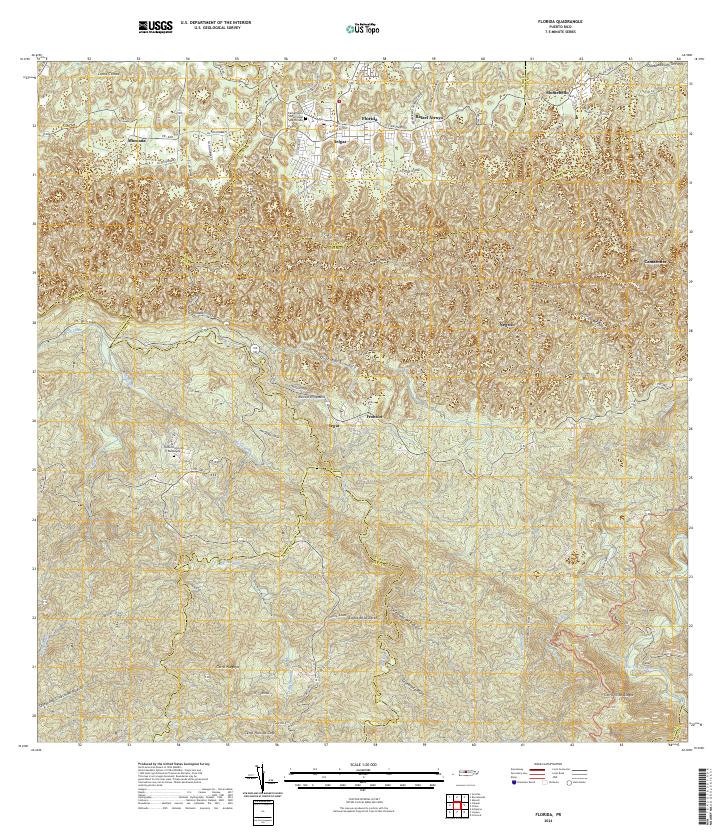
2024 Map of Florida
USGS Topo · Published 2024About this map
Florida and its surrounding mountain communities sit at the crossroads of several municipal boundaries, including Arecibo, Ciales, and Manati. This central Puerto Rican landscape is defined by its dramatic elevation changes, where named peaks like Cerro Magoyo and Cerro Palo de Cafe overlook a dense network of watercourses. Significant rivers such as the Rio Limon, Rio Yunes, and the southern Rio Toro Negro carve through the terrain, dictating the placement of settlements and the winding paths of roads like PR-140 and PR-146. For the family historian, the map identifies specific points of local heritage, including the Cementerio Municipal de Florida near the urban center and the Cementerio de Mameyes tucked into the more southern, mountainous reaches. Small rural clusters like Rafael Arroyo, Selgas, and Negrito reflect the enduring settlement patterns of the region's interior highlands.
Find a feature on this map
55 named features on this map. Tap any name to fly to it.
Don’t see what you’re looking for? This feature index may not catch every label — zoom into the map to look around manually.
Map Details
Editions of this 2024 Florida Map
This is the sole edition of this map. No revisions or reprints were ever made.
Other maps of this area

1942 · Manati
USGS Topo · 1:30,000

1942 · Arecibo
USGS Topo · 1:30,000

1942 · Barceloneta
USGS Topo · 1:30,000

1943 · Utuado NE
USGS Topo · 1:10,000

1946 · Barceloneta
USGS Topo · 1:30,000

1946 · Utuado
USGS Topo · 1:30,000

1946 · Ciales
USGS Topo · 1:30,000

1946 · Jayuya
USGS Topo · 1:30,000

1946 · Arecibo
USGS Topo · 1:30,000

1946 · Florida
USGS Topo · 1:30,000