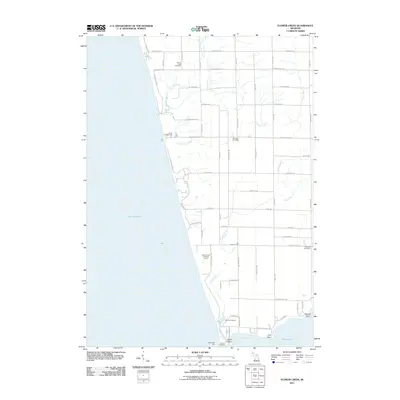
2011 Map of Flower Creek
USGS Topo · Published 2011About this map
The eastern shoreline of Lake Michigan defines this coastal landscape, where the waters of Flower Creek and its tributaries carve paths through the Lake Michigan dunes and agricultural lands. Near the southern edge, White Lake opens into the larger lake at Indian Bay, a transition point marked by the North Pier Light and the operations of Grover Fisheries. The area's settlement history is preserved in several rural burial grounds, including the Flower Creek Cemetery and Hubbard Cemetery, reflecting the lineage of families who established farms along the grid of local roads such as W Roosevelt Rd and S 48th Ave. Recreational sites like the Pines Campground and Old Channel Trail Golf Course suggest a landscape balancing traditional industry with lakeside tourism. Further south, the map details the terrain around Indian Point and Dowies Point, providing a precise record of the shoreline's contours and the drainage network of the Pierson Drain as they existed in the early 21st century.
Find a feature on this map
60 named features on this map. Tap any name to fly to it.
Don’t see what you’re looking for? This feature index may not catch every label — zoom into the map to look around manually.
Map Details
Editions of this 2011 Flower Creek Map
This is the sole edition of this map. No revisions or reprints were ever made.
Other maps of this area

1929 · Montague
USGS Topo · 1:48,000

1931 · Hart SE
USGS Topo · 1:31,680

1954 · Milwaukee
USGS Topo · 1:250,000

1958 · Milwaukee
USGS Topo · 1:250,000

1959 · Montague
USGS Topo · 1:62,500

1959 · Hart
USGS Topo · 1:62,500

1976 · Montague NW
USGS Topo · 1:24,000

1976 · Montague SW
USGS Topo · 1:24,000
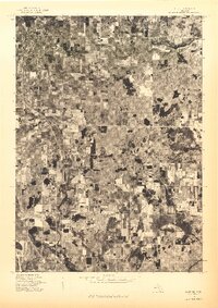
1976 · Hart SE
USGS Topo · 1:24,000
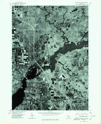
1976 · Montague NE
USGS Topo · 1:24,000