
1976 Map of Montague SW
USGS Topo · Published 1976About this map
The shoreline of Lake Michigan dominates this 1976 orthophotoquad, capturing the coastal dynamics and land use patterns near the mouth of White Lake in Muskegon County. This aerial perspective, processed by the Geological Survey from 1976 photography, reveals the wooded residential layouts and resort character of Wabaningo. The imagery clearly distinguishes the sandy littoral zones from the interior agricultural and forested plots, offering a rare visual record of the shoreline before decades of modern erosion and lake level fluctuations altered the coast. By omitting traditional topographic contours in favor of high-resolution aerial imagery, this survey provides a precise spatial document of the docks, clearings, and shoreline developments as they existed during the mid-seventies.
Find a feature on this map
3 named features on this map. Tap any name to fly to it.
Don’t see what you’re looking for? This feature index may not catch every label — zoom into the map to look around manually.
Map Details
Editions of this 1976 Montague SW Map
This is the sole edition of this map. No revisions or reprints were ever made.
Other maps of this area

1929 · Montague
USGS Topo · 1:48,000

1930 · Lake Harbor
USGS Topo · 1:48,000

1936 · Lake Harbor
USGS Topo · 1:62,500

1954 · Milwaukee
USGS Topo · 1:250,000

1958 · Milwaukee
USGS Topo · 1:250,000

1959 · Montague
USGS Topo · 1:62,500
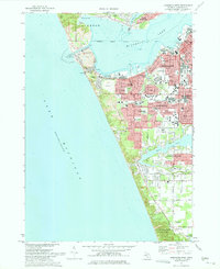
1972 · Muskegon West
USGS Topo · 1:24,000

1976 · Montague NW
USGS Topo · 1:24,000
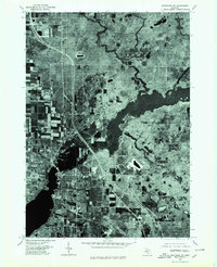
1976 · Montague NE
USGS Topo · 1:24,000
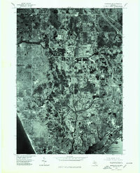
1976 · Montague SE
USGS Topo · 1:24,000
Featured Places
- Montague Township, MI
- Michillinda, MI
- Laketon Township, MI
- White River Township, MI
- Fruitland Township, MI