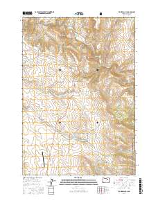
2017 Map of Flowers Gulch
USGS Topo · Published 2017About this map
The Middle Fork John Day River winds through the northern reaches of this Grant County landscape, set within the eastern boundaries of the Malheur National Forest. This 2017 survey documents a high-altitude terrain defined by steep drainage systems and prominent volcanic landmarks, most notably the Ritter Butte Summit and the distinctive Sugar Loaf Mtn. The map records a transition from these heights down into deep incisions like Flowers Gulch and Troutman Gulch. Aviation and transport are represented by Miranda's Skyranch Airport and a network of remote access points including Long Creek-Pass Creek Rd. The convergence of water bodies such as Granite Cr and Pass Cr illustrates the complex hydrology that has shaped these canyons over millennia, providing a detailed view of the region's topography and land use patterns.
Find a feature on this map
34 named features on this map. Tap any name to fly to it.
Don’t see what you’re looking for? This feature index may not catch every label — zoom into the map to look around manually.
Map Details
Editions of this 2017 Flowers Gulch Map
This is the sole edition of this map. No revisions or reprints were ever made.
Other maps of this area

1949 · Long Creek
USGS Topo · 1:62,500

1949 · Susanville
USGS Topo · 1:62,500

1950 · Ritter
USGS Topo · 1:62,500

1951 · Susanville
USGS Topo · 1:62,500

1951 · Long Creek
USGS Topo · 1:62,500

1951 · Dale
USGS Topo · 1:62,500

1952 · Ritter
USGS Topo · 1:62,500

1955 · Canyon City
USGS Topo · 1:250,000

1959 · Canyon City
USGS Topo · 1:250,000

1980 · Monument
USGS Topo · 1:100,000