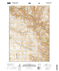
2020 Map of Flowers Gulch
USGS Topo · Published 2020About this map
The Middle Fork John Day River winds through the northern reaches of this Grant County landscape, defining a corridor of high-elevation relief marked by significant peaks and canyons. In the center of the sheet, the prominence of Ritter Butte and the Ritter Butte Summit stands as a focal point for the surrounding terrain. To the south, the boundary of the Malheur National Forest encompasses several drainage features, including Swickey Canyon and Dale Canyon, illustrating the transition from open range to protected forest land.
Find a feature on this map
36 named features on this map. Tap any name to fly to it.
Don’t see what you’re looking for? This feature index may not catch every label — zoom into the map to look around manually.
Map Details
Editions of this 2020 Flowers Gulch Map
This is the sole edition of this map. No revisions or reprints were ever made.
Other maps of this area

1949 · Long Creek
USGS Topo · 1:62,500

1949 · Susanville
USGS Topo · 1:62,500

1950 · Ritter
USGS Topo · 1:62,500

1951 · Susanville
USGS Topo · 1:62,500

1951 · Long Creek
USGS Topo · 1:62,500

1951 · Dale
USGS Topo · 1:62,500

1952 · Ritter
USGS Topo · 1:62,500

1955 · Canyon City
USGS Topo · 1:250,000

1959 · Canyon City
USGS Topo · 1:250,000

1980 · Monument
USGS Topo · 1:100,000