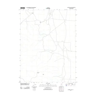
2012 Map of Flowery Lake
USGS Topo · Published 2012About this map
Hogan stands as the primary named settlement in this high desert landscape of eastern Elko County. The terrain is defined by its passes and peaks, notably Flower Pass to the north and Flowery Lake Pass near Twin Peaks to the south. This 2012 survey illustrates a sparse infrastructure where transportation is largely dictated by utility and access corridors like RR Maintenance Rd and Shaftter Rd. The ephemeral nature of the Great Basin hydrography is evident at Flowery Lake, situated on the eastern edge of the quadrangle. The map captures a moment of modern land management in Nevada, highlighting the intersection of named mountain crossings and the specialized road networks required to maintain the remote interior.
Find a feature on this map
8 named features on this map. Tap any name to fly to it.
Don’t see what you’re looking for? This feature index may not catch every label — zoom into the map to look around manually.
Map Details
Editions of this 2012 Flowery Lake Map
This is the sole edition of this map. No revisions or reprints were ever made.
Other maps of this area

1953 · Spruce Mountain 4
USGS Topo · 1:62,500

1955 · Elko
USGS Topo · 1:250,000

1958 · Elko
USGS Topo · 1:250,000

1962 · Elko
USGS Topo · 1:250,000

1965 · Elko
USGS Topo · 1:250,000

1968 · Independence Valley SW
USGS Topo · 1:24,000

1968 · Independence Valley SE
USGS Topo · 1:24,000

1971 · Shafter
USGS Topo · 1:24,000

1971 · Decoy
USGS Topo · 1:24,000

1972 · Decoy SW
USGS Topo · 1:24,000