
1972 Map of Decoy SW
USGS Topo · Published 1975About this map
Goshute Valley (Depression) dominates this high-desert landscape in northeastern Nevada, characterized by its wide, flat basin and sparse infrastructure. The rail line of the Nevada Northern skirts the northwestern edge of the map, providing a vital connection through this arid terrain in the early 1970s. This survey, based on 1970 aerial photography, reveals a landscape largely defined by the utility of its trails rather than established settlements. A network of Jeep Trails crisscrosses the valley floor, connecting various elevation markers and survey points such as BM 5600 and BM 5595. These routes signify the ongoing human presence required for ranching, surveying, and resource management in a region where the natural topography of the Great Basin dictates the pace of movement and development.
Find a feature on this map
9 named features on this map. Tap any name to fly to it.
Don’t see what you’re looking for? This feature index may not catch every label — zoom into the map to look around manually.
Map Details
Editions of this 1972 Decoy SW Map
This is the sole edition of this map. No revisions or reprints were ever made.
Other maps of this area

1953 · Spruce Mountain 4
USGS Topo · 1:62,500

1955 · Elko
USGS Topo · 1:250,000

1958 · Elko
USGS Topo · 1:250,000

1962 · Elko
USGS Topo · 1:250,000

1965 · Elko
USGS Topo · 1:250,000

1971 · Decoy
USGS Topo · 1:24,000

1972 · Morgan Pass
USGS Topo · 1:24,000

1972 · Lion Spring
USGS Topo · 1:24,000
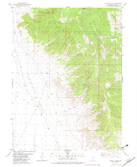
1982 · Goshute Peak
USGS Topo · 1:24,000
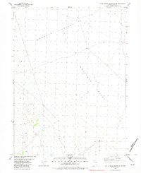
1982 · White Horse Mountain NW
USGS Topo · 1:24,000