
1971 Map of Shafter
USGS Topo · Published 1974About this map
Nevada Northern and Western Pacific rail lines intersect at Shafter, a small railroad settlement situated at the western edge of the Goshute Valley. Surveyed in the early 1970s, the map reveals a landscape defined by the intersection of these critical transportation corridors and the arid expanse of the Great Basin. To the south of the station, the isolated elevation of Shafter Knoll rises above the valley floor, while a small Cem (cemetery) sits near the tracks, serving as a quiet record of the local community's history. The reliance on subterranean water sources in this desert environment is evidenced by the presence of Shafter Well No 1. A network of Jeep Trails provides the primary means of navigating the terrain away from the permanent rail infrastructure, connecting the rail hub to the surrounding valley and distant foothills.
Find a feature on this map
8 named features on this map. Tap any name to fly to it.
Don’t see what you’re looking for? This feature index may not catch every label — zoom into the map to look around manually.
Map Details
Editions of this 1971 Shafter Map
This is the sole edition of this map. No revisions or reprints were ever made.
Other maps of this area

1953 · Spruce Mountain 4
USGS Topo · 1:62,500

1955 · Elko
USGS Topo · 1:250,000

1958 · Elko
USGS Topo · 1:250,000

1962 · Elko
USGS Topo · 1:250,000

1965 · Elko
USGS Topo · 1:250,000

1968 · Independence Valley NE
USGS Topo · 1:24,000

1968 · Independence Valley SE
USGS Topo · 1:24,000
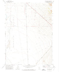
1971 · Hardy Creek
USGS Topo · 1:24,000

1971 · West Morris Basin
USGS Topo · 1:24,000
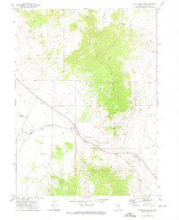
1971 · Silver Zone Pass
USGS Topo · 1:24,000