
1971 Map of West Morris Basin
USGS Topo · Published 1974About this map
The Toano Range dominates this portion of Elko County, serving as a high-altitude divider between the Goshute Valley to the west and the expansive basin lands to the east. This 1971 survey records a landscape shaped by both geological forces and human transit, characterized by natural features like the Natural Arch and several Caves tucked into the mountain slopes. On the eastern edge, the Western Pacific railroad skirts the foothills, a vital transport artery in this high desert environment.
Find a feature on this map
16 named features on this map. Tap any name to fly to it.
Don’t see what you’re looking for? This feature index may not catch every label — zoom into the map to look around manually.
Map Details
Editions of this 1971 West Morris Basin Map
This is the sole edition of this map. No revisions or reprints were ever made.
Other maps of this area

1955 · Elko
USGS Topo · 1:250,000

1958 · Elko
USGS Topo · 1:250,000

1962 · Elko
USGS Topo · 1:250,000

1965 · Elko
USGS Topo · 1:250,000
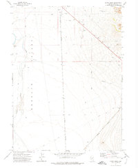
1971 · Hardy Creek
USGS Topo · 1:24,000
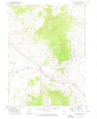
1971 · Silver Zone Pass
USGS Topo · 1:24,000

1971 · Shafter
USGS Topo · 1:24,000

1971 · Pilot
USGS Topo · 1:24,000
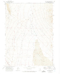
1971 · Leppy Peak NW
USGS Topo · 1:24,000

1971 · Decoy
USGS Topo · 1:24,000