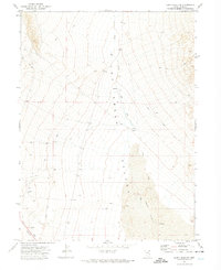
1971 Map of Leppy Peak NW
USGS Topo · Published 1974About this map
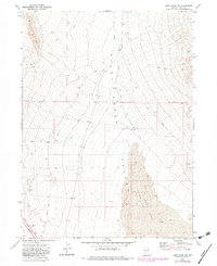
Pilot Creek Valley dominates this landscape in eastern Nevada, as recorded during a 1971 field check. The area is characterized by an arid desert environment, featuring a notable expanse of Sand Dunes that shift along the valley floor. Water sources were critical for the few inhabitants of this region, evidenced by the presence of the Cliffside Well, a Spring along the creek, and an Aqueduct cutting through the southwestern terrain. The Cummings Ranch stands as the primary named settlement, indicating the sparse, ranch-based habitation of this portion of Elko County during the early 1970s. Navigating the terrain relied heavily on an extensive network of a Jeep Trail and other unimproved paths that wind through the basin and along the eastern slopes of the surrounding highlands.
Find a feature on this map
12 named features on this map. Tap any name to fly to it.
Don’t see what you’re looking for? This feature index may not catch every label — zoom into the map to look around manually.
Map Details
Editions of this 1971 Leppy Peak NW Map
2 editions found
Other maps of this area

1955 · Wells
USGS Topo · 1:250,000

1955 · Elko
USGS Topo · 1:250,000

1958 · Wells
USGS Topo · 1:250,000

1958 · Elko
USGS Topo · 1:250,000

1961 · Wells
USGS Topo · 1:250,000

1962 · Elko
USGS Topo · 1:250,000

1965 · Elko
USGS Topo · 1:250,000

1967 · Pilot Peak
USGS Topo · 1:24,000
1967 · Pilot Peak SW
USGS Topo · 1:24,000

1967 · Cobre SE
USGS Topo · 1:24,000