1971 Map of Hardy Creek
USGS Topo · Published 1974About this map
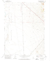
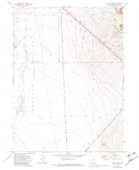
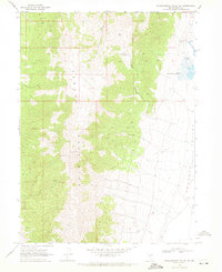
Nevada Northern and Western Pacific rail lines cross this high-desert expanse, illustrating the transportation infrastructure of Elko County in the early 1970s. The landscape of the Goshute Valley is defined by drainage from Hardy Creek and the presence of specialized facilities including a Landing Field, a Radio Facility, and a Tower. Numerous infrastructure markers, such as an Aqueduct and various Borrow Pits, indicate the management of resources and materials in this arid environment.
Find a feature on this map
15 named features on this map. Tap any name to fly to it.
Don’t see what you’re looking for? This feature index may not catch every label — zoom into the map to look around manually.
Map Details
Editions of this 1971 Hardy Creek Map
2 editions found
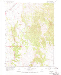
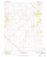
Other maps of this area

1955 · Wells
USGS Topo · 1:250,000

1955 · Elko
USGS Topo · 1:250,000

1958 · Wells
USGS Topo · 1:250,000

1958 · Elko
USGS Topo · 1:250,000

1961 · Wells
USGS Topo · 1:250,000

1962 · Elko
USGS Topo · 1:250,000

1965 · Elko
USGS Topo · 1:250,000
1967 · Cobre SE
USGS Topo · 1:24,000
1967 · Cobre
USGS Topo · 1:24,000
1968 · Independence Valley NE
USGS Topo · 1:24,000