
1967 Map of Cobre
USGS Topo · Published 1971About this map
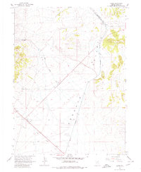
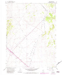
The high desert junction of Cobre serves as a focal point for the region's transportation history, where the Southern Pacific and Nevada Northern railroads converge. This 1967 survey captures the sparse industrial landscape of the Goshute Valley, characterized by isolated settlements and a network of primitive transportation routes. To the west, Squaw Creek Ranch is situated near the drainage of Squaw Creek, while the small community of Oasis sits further south along a collection of Gravel Pits. The topography is marked by significant elevation changes, with numerous Jeep Trails and Landing Strips providing the only access to the remote terrain. This map documents a period when the rail economy still dictated the layout of Elko County’s outposts before the expansion of more modern highway infrastructure.
Find a feature on this map
12 named features on this map. Tap any name to fly to it.
Don’t see what you’re looking for? This feature index may not catch every label — zoom into the map to look around manually.
Map Details
Editions of this 1967 Cobre Map
3 editions found
Other maps of this area

1955 · Wells
USGS Topo · 1:250,000

1955 · Elko
USGS Topo · 1:250,000

1958 · Wells
USGS Topo · 1:250,000

1958 · Elko
USGS Topo · 1:250,000

1961 · Wells
USGS Topo · 1:250,000

1962 · Elko
USGS Topo · 1:250,000

1965 · Elko
USGS Topo · 1:250,000

1967 · Valley Pass
USGS Topo · 1:24,000

1967 · Loray
USGS Topo · 1:24,000

1967 · Cobre SE
USGS Topo · 1:24,000