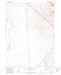
1971 Map of Hardy Creek
USGS Topo · Published 1983About this map
Goshute Valley (Depression) dominates this high-desert basin in Elko County, showing a landscape defined by industrial infrastructure and water management. The intersection of the Nevada Northern and Western Pacific railroads highlights the region's importance as a transportation corridor during the early 1970s. Tracing the seasonal flow of Hardy Creek, the map reveals the sparse but vital water sources required for local livestock and industry, including the Squaw Flat Well and a prominent Aqueduct. Numerous Borrow Pits along the rail lines and primary roads suggest the ongoing maintenance of these remote routes. For those studying the evolution of Nevada's infrastructure, the presence of a Landing Field and a Radio Facility near the mountain foothills indicates the modernization of desert navigation and communication during this period.
Find a feature on this map
16 named features on this map. Tap any name to fly to it.
Don’t see what you’re looking for? This feature index may not catch every label — zoom into the map to look around manually.
Map Details
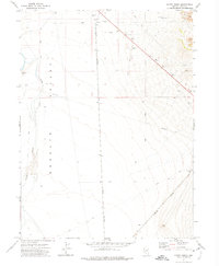
Editions of this 1971 Hardy Creek Map
2 editions found
Other maps of this area

1955 · Wells
USGS Topo · 1:250,000

1955 · Elko
USGS Topo · 1:250,000

1958 · Wells
USGS Topo · 1:250,000

1958 · Elko
USGS Topo · 1:250,000

1961 · Wells
USGS Topo · 1:250,000

1962 · Elko
USGS Topo · 1:250,000

1965 · Elko
USGS Topo · 1:250,000

1967 · Cobre SE
USGS Topo · 1:24,000

1967 · Cobre
USGS Topo · 1:24,000

1968 · Independence Valley NE
USGS Topo · 1:24,000