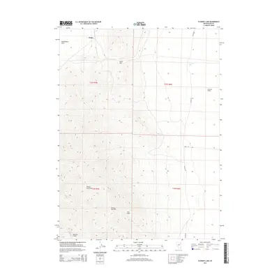
2015 Map of Flowery Lake
USGS Topo · Published 2015About this map
Pequop Mountains dominate the central landscape of this Elko County region, serving as a high-altitude divider between two distinct basins. To the west lies the edge of Independence Valley, while the eastern portion of the map transitions into the Goshute Valley, where the intermittent Flowery Lake sits as a terminal drainage point. The settlement at Hogan is positioned near the northern boundary, highlighting a sparse human footprint centered on essential transit corridors. Movement through this high-desert terrain is dictated by natural gaps such as Flower Pass and Flowery Lake Pass, which connect the disparate valleys. The road network, including Shafter Rd and Decoy Rd, follows these natural contours, illustrating how the topography of Twin Peaks and Ninemile Canyon has historically funneled travel through this part of the Great Basin.
Find a feature on this map
15 named features on this map. Tap any name to fly to it.
Don’t see what you’re looking for? This feature index may not catch every label — zoom into the map to look around manually.
Map Details
Editions of this 2015 Flowery Lake Map
This is the sole edition of this map. No revisions or reprints were ever made.
Other maps of this area

1953 · Spruce Mountain 4
USGS Topo · 1:62,500

1955 · Elko
USGS Topo · 1:250,000

1958 · Elko
USGS Topo · 1:250,000

1962 · Elko
USGS Topo · 1:250,000

1965 · Elko
USGS Topo · 1:250,000

1968 · Independence Valley SW
USGS Topo · 1:24,000

1968 · Independence Valley SE
USGS Topo · 1:24,000

1971 · Shafter
USGS Topo · 1:24,000

1971 · Decoy
USGS Topo · 1:24,000

1972 · Decoy SW
USGS Topo · 1:24,000