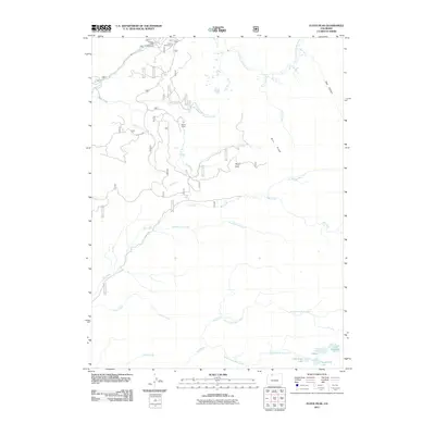
2011 Map of Floyd Peak
USGS Topo · Published 2011About this map
Floyd Peak rises as a central landmark in this high-elevation landscape within Routt County, defined by a complex network of alpine drainage and seasonal recreation. The northern edge of the map follows the Elk River, where access points like Coulton Creek Campground and Hinman Campground serve as gateways into the surrounding National Forest lands. The terrain is deeply incised by multiple watercourses, including Roaring Fork Creek, Mad Creek, and the South Fork Elk River, illustrating a watershed that feeds the larger Colorado river systems.
Find a feature on this map
31 named features on this map. Tap any name to fly to it.
Don’t see what you’re looking for? This feature index may not catch every label — zoom into the map to look around manually.
Map Details
Editions of this 2011 Floyd Peak Map
This is the sole edition of this map. No revisions or reprints were ever made.
Other maps of this area

1911 · Hahns Peak
USGS Topo · 1:125,000

1913 · Hahns Peak
USGS Topo · 1:125,000

1954 · Craig
USGS Topo · 1:250,000

1955 · Buffalo Pass
USGS Topo · 1:24,000

1955 · Mount Zirkel
USGS Topo · 1:24,000

1955 · Mount Ethel
USGS Topo · 1:24,000

1955 · Mount Ethel
USGS Topo · 1:62,500

1956 · Pearl
USGS Topo · 1:62,500

1957 · Craig
USGS Topo · 1:250,000

1958 · Craig
USGS Topo · 1:250,000