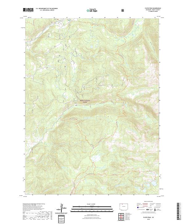
2022 Map of Floyd Peak
USGS Topo · Published 2022About this map
Routt National Forest encompasses this high-elevation landscape, where numerous tributaries of the Elk River and Mad Creek carve through the terrain. The central prominence of Floyd Peak stands as a focal point, flanked by the distinct Burn Ridge to the east and Bear Canyon to the northeast. This area is characterized by an intricate network of backcountry paths, including the Swamp Park Trail and Roaring Fork Trail, which provide access to a cluster of alpine water bodies in the southeast corner. Here, researchers and hikers can find Fish Hawk Lake, Snowstorm Lake, Lake Edward, and Lake Margaret gathered near the headwaters of Middle Fork Mad Creek. The map documents a landscape defined by its hydrology and drainage patterns, from the South Fork Elk River in the north to the Corral Creek in the south.
Find a feature on this map
35 named features on this map. Tap any name to fly to it.
Don’t see what you’re looking for? This feature index may not catch every label — zoom into the map to look around manually.
Map Details
Editions of this 2022 Floyd Peak Map
This is the sole edition of this map. No revisions or reprints were ever made.
Other maps of this area

1911 · Hahns Peak
USGS Topo · 1:125,000

1913 · Hahns Peak
USGS Topo · 1:125,000

1954 · Craig
USGS Topo · 1:250,000

1955 · Buffalo Pass
USGS Topo · 1:24,000

1955 · Mount Zirkel
USGS Topo · 1:24,000

1955 · Mount Ethel
USGS Topo · 1:24,000

1955 · Mount Ethel
USGS Topo · 1:62,500

1956 · Pearl
USGS Topo · 1:62,500

1957 · Craig
USGS Topo · 1:250,000

1958 · Craig
USGS Topo · 1:250,000