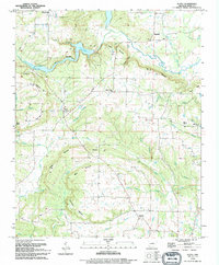
1994 Map of Floyd
USGS Topo · Published 1994About this map
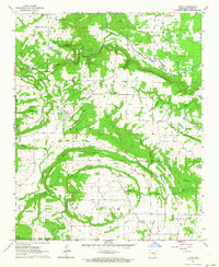
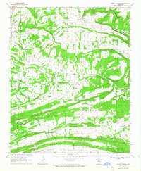
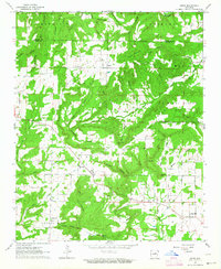
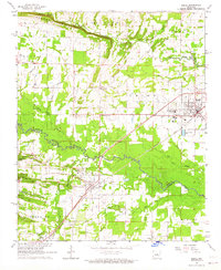
Floyd and the surrounding rural communities of Gravel Hill and Harmony are depicted here during the final decade of the 20th century. The landscape is defined by the winding course of Bayou Des Arc and the significant presence of Lake Barnett Elevation 351, where a Boat Ramp provides access to the water. The terrain transitions from river valleys to prominent high points like Dugout Mountain and Red Rock Mountain, revealing a settlement pattern heavily influenced by these natural ridges.
Find a feature on this map
52 named features on this map. Tap any name to fly to it.
Don’t see what you’re looking for? This feature index may not catch every label — zoom into the map to look around manually.
Map Details
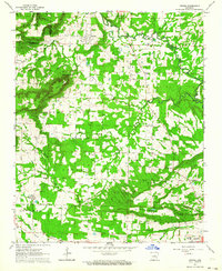
Editions of this 1994 Floyd Map
This is the sole edition of this map. No revisions or reprints were ever made.
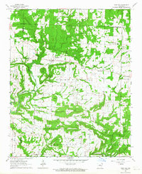
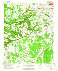
Other maps of this area

1953 · Memphis
USGS Topo · 1:250,000

1956 · Memphis
USGS Topo · 1:250,000

1956 · Russellville
USGS Topo · 1:250,000
1962 · Letona
USGS Topo · 1:24,000
1963 · Rose Bud
USGS Topo · 1:24,000
1963 · Garner
USGS Topo · 1:24,000
1963 · Floyd
USGS Topo · 1:24,000
1963 · Mount Vernon
USGS Topo · 1:24,000
1963 · Sidon
USGS Topo · 1:24,000
1963 · Beebe
USGS Topo · 1:24,000