
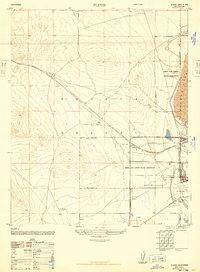
1947 Map of Fluhr
USGS Topo · Published 1947About this map
The Atchison Topeka and Santa Fe railroad cuts a diagonal path across the high desert, anchoring small sidings like Fluhr and the settlement of Muroc. This 1947 survey captures a critical transition for the region, as the expansive Muroc Army Airfield Military Reservation establishes a dominant footprint across the Mojave Desert. The presence of the Muroc Army Airfield on the western edge of Rogers Lake signals the area's mid-century shift toward military aviation and aerospace testing, while the surrounding landscape remains marked by traditional desert infrastructure like a solitary Well and windmill in the southern flats.
Find a feature on this map
10 named features on this map. Tap any name to fly to it.
Don’t see what you’re looking for? This feature index may not catch every label — zoom into the map to look around manually.
Map Details
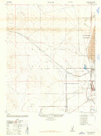
Editions of this 1947 Fluhr Map
3 editions found
Other maps of this area

1915 · Elizabeth Lake
USGS Topo · 1:125,000

1915 · Searles Lake
USGS Topo · 1:250,000

1915 · Mojave
USGS Topo · 1:125,000

1917 · Elizabeth Lake
USGS Topo · 1:125,000

1937 · Rogers Lake
USGS Topo · 1:48,000

1942 · Rogers Lake
USGS Topo · 1:62,500

1943 · Rosamond
USGS Topo · 1:62,500

1943 · Castle Butte
USGS Topo · 1:62,500

1943 · Mojave
USGS Topo · 1:62,500

1947 · Castle Butte
USGS Topo · 1:50,000