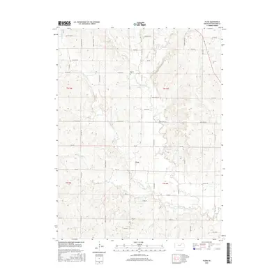
2015 Map of Flush
USGS Topo · Published 2015About this map
Flush serves as the central hub of this Pottawatomie County landscape, situated at a transition point where numerous drainage systems converge. The terrain is defined by a dense network of watercourses, including Pleasant Run Cr and the winding path of Rock Cr, which carve through the Kansas hills. Genealogists will find the Admatha Cem near the northern reaches of Loux Rd, a key landmark for local family history research in this rural township. The map reveals a high concentration of small creeks such as Mud Cr, Hopkins Cr, and Elm Slough, suggesting a landscape shaped by persistent water action and agricultural drainage. A grid of named rural routes like Lake Elbo Rd and Flush Rd provides access to the dispersed farmsteads and upland areas between the many creek valleys.
Find a feature on this map
51 named features on this map. Tap any name to fly to it.
Don’t see what you’re looking for? This feature index may not catch every label — zoom into the map to look around manually.
Map Details
Editions of this 2015 Flush Map
This is the sole edition of this map. No revisions or reprints were ever made.
Other maps of this area

1886 · Junction City
USGS Topo · 1:125,000

1889 · Wamego
USGS Topo · 1:125,000

1889 · Junction City
USGS Topo · 1:125,000

1894 · Junction City
USGS Topo · 1:125,000

1894 · Wamego
USGS Topo · 1:125,000

1947 · Manhattan
USGS Topo · 1:62,500

1950 · Manhattan
USGS Topo · 1:24,000

1953 · Wamego
USGS Topo · 1:24,000

1953 · St George
USGS Topo · 1:24,000
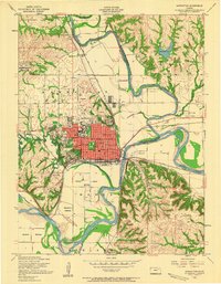
1955 · Manhattan
USGS Topo · 1:24,000