
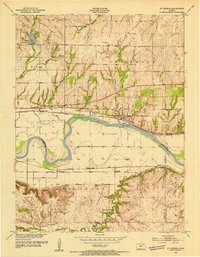
1953 Map of St George
USGS Topo · Published 1954About this map
The Kansas River cuts a wide, meandering path through this mid-century landscape, flanked by extensive levee systems designed for flood control. To the north, the settlement of St George is situated between the river and the Union Pacific railroad line, while the southern bank features the community of Zeandale along the Chicago Rock Island and Pacific tracks. This dual-railway corridor highlights the region's importance as a transportation hub in Pottawatomie and Riley Counties.
Find a feature on this map
33 named features on this map. Tap any name to fly to it.
Don’t see what you’re looking for? This feature index may not catch every label — zoom into the map to look around manually.
Map Details
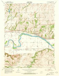
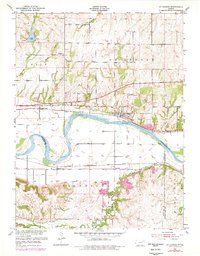
Editions of this 1953 St George Map
4 editions found
Other maps of this area

1886 · Junction City
USGS Topo · 1:125,000

1889 · Wamego
USGS Topo · 1:125,000

1889 · Junction City
USGS Topo · 1:125,000

1894 · Junction City
USGS Topo · 1:125,000

1894 · Wamego
USGS Topo · 1:125,000

1947 · Manhattan
USGS Topo · 1:62,500

1950 · Manhattan
USGS Topo · 1:24,000

1951 · Swede Creek
USGS Topo · 1:24,000

1953 · Wamego
USGS Topo · 1:24,000
1953 · Wamego SW
USGS Topo · 1:24,000