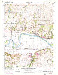
1953 Map of St George
USGS Topo · Published 1978About this map
The Kansas River creates a central corridor through this Pottawatomie County landscape, separating the settlement of St George from the rural community of Zeandale to the south. This 1953 survey, with purple revisions from 1977, illustrates a transition in local infrastructure, showing the Union Pacific railroad tracking the river's northern bank while the Chicago Rock Island and Pacific line runs parallel through the southern flats.
Find a feature on this map
30 named features on this map. Tap any name to fly to it.
Don’t see what you’re looking for? This feature index may not catch every label — zoom into the map to look around manually.
Map Details
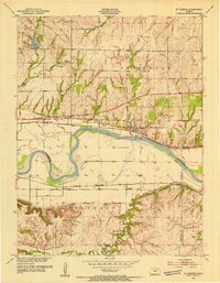
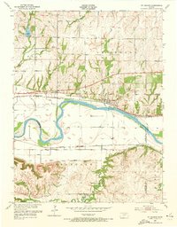
Editions of this 1953 St George Map
4 editions found
Other maps of this area

1886 · Junction City
USGS Topo · 1:125,000

1889 · Wamego
USGS Topo · 1:125,000

1889 · Junction City
USGS Topo · 1:125,000

1894 · Junction City
USGS Topo · 1:125,000

1894 · Wamego
USGS Topo · 1:125,000

1947 · Manhattan
USGS Topo · 1:62,500

1950 · Manhattan
USGS Topo · 1:24,000

1951 · Swede Creek
USGS Topo · 1:24,000

1953 · Wamego
USGS Topo · 1:24,000

1953 · St George
USGS Topo · 1:24,000