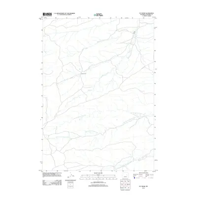
2012 Map of Fly Draw
USGS Topo · Published 2012About this map
Old Bryan Ranch stands as a focal point of human activity in this sparsely populated stretch of Converse County. The landscape is defined by the intricate drainage systems of the Cheyenne River watershed, particularly where the N Fork Dry Fork Cheyenne River and S Fork Dry Fork Cheyenne River converge. These ephemeral waterways, along with the Middle Fork Dry Fork Cheyenne River, carve a complex network through the high plains. The settlement at Fly Draw and the various branches of Sand Cr further illustrate the traditional reliance on these draws and creek beds for navigation and ranching operations. The road network shown reflects the open-country infrastructure required to maintain connectivity between these isolated homesteads and grazing lands in the early 21st century.
Find a feature on this map
7 named features on this map. Tap any name to fly to it.
Don’t see what you’re looking for? This feature index may not catch every label — zoom into the map to look around manually.
Map Details
Editions of this 2012 Fly Draw Map
This is the sole edition of this map. No revisions or reprints were ever made.
Other maps of this area

1955 · Newcastle
USGS Topo · 1:250,000

1955 · Arminto
USGS Topo · 1:250,000

1958 · Arminto
USGS Topo · 1:250,000

1958 · Newcastle
USGS Topo · 1:250,000

1959 · Fifty-Five Ranch
USGS Topo · 1:62,500

1959 · Edgerton
USGS Topo · 1:62,500

1959 · Ormsby Draw
USGS Topo · 1:62,500

1960 · Ross
USGS Topo · 1:62,500

1962 · Arminto
USGS Topo · 1:250,000

1979 · Bill
USGS Topo · 1:100,000